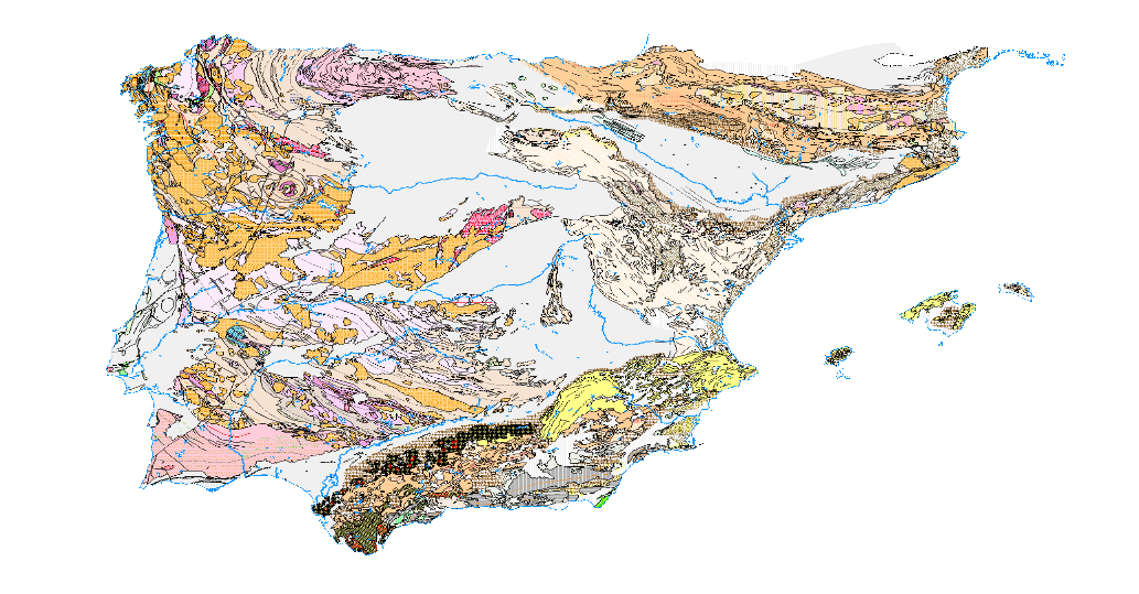
Service of visualization (WMS) of the Tectonic Map of Spain at a scale of 1:1,000,000.
Visualisation service of the Tectonic Map in Spain, at a scale of 1:1,000,000, of the Iberian Peninsula and Balearic Islands that identifies the major structural elements of the Earth's crust and records the Earth's dynamism in the past.

large_thumbnail
service
- Servicio
IGME-CSIC
:
WMS_TECTONICO1000
view
GEMET - INSPIRE themes, version 1.0:
IGME Thesaurus:
Spatial Scope:
ISO 19119:
Web Services Specifications:
ISO - 19119 geographic services taxonomy:
INSPIRE_SpatialDataServicesClassification:
IGME
Tectonics
Thrust fault
OGC (Open Geospatial Consortium)
WMS (Web Map Service)
WMS 1.3.0
OGC
WMS
infoMapAccessService
Map access service
Geographic information/model management service
Free:
IDEE
Free:
EGDI
Free:
WMS
-22.71,
25.95,
6.34,
44.70
creation: 2019-07-01
On-line availability of the Tectonic Map of Spain at a scale of 1:1,000,000.
Geological Survey of Spain (IGME-CSIC)
email:
[email protected]
Role: point of contact
Data Quality
Reglamento (UE) n o 1089/2010 de la Comisión de 23 de noviembre de 2010 por el que se aplica la Directiva 2007/2/CE del Parlamento Europeo y del Consejo en lo que se refiere a la interoperabilidad de los conjuntos y los servicios de datos espaciales
REGLAMENTO (CE) No 1205/2008 DE LA COMISIÓN de 3 de diciembre de 2008 por el que se ejecuta la Directiva 2007/2/CE del Parlamento Europeo y del Consejo en lo que se refiere a los metadatos
Constraints
LICENCE OF USE: Conditions of public use and dissemination of information for the re-use of IGME data. https://www.igme.es/condiciones-de-uso/
Metadata about metadata
ESPIGMESERVICIOTECTONICO100020200716
Geological Survey of Spain (IGME-CSIC)
Leticia Vega Martín
,
Madrid,
28003,
España
tel: +34 91 349 57 41
email:
[email protected]
Role: point of contact
2025-05-19


