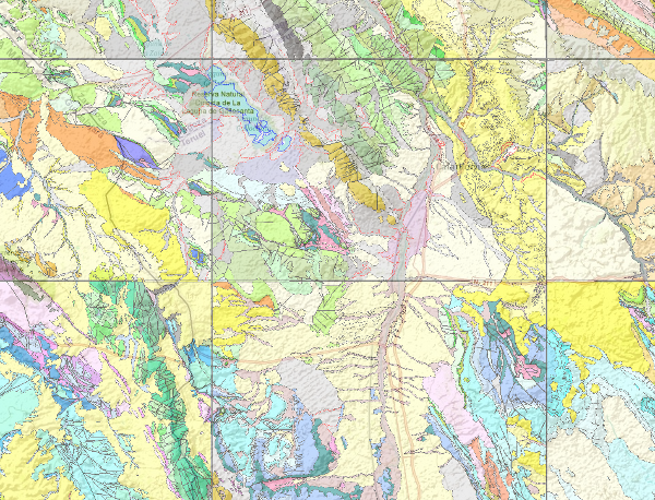
View Service (WMS) of Geological Map of Spain, MAGNA
The National Geological Map (MAGNA), was made between 1972 and 2003 by the Geological Survey of Spain. It is distributed in sheets 1: 50.000 (1: 25.000 in particular cases of the Canary Islands, Ibiza-Formentera, Menorca, Ceuta and Melilla). The geological map shows the nature of materials (rocks and sediments) that appear on the surface, their spatial distribution and geometric relationships between the different cartographic units represented.

large_thumbnail
service
- Servicio
IGME-CSIC
:
WMS_MAGNA50
view
?:
Tesauro IGME:
GEMET:
Spatial scope:
ISO - 19119 geographic services taxonomy, 1.0:
CEOLocation:
ISO 19119:
Especificaciones de Servicios Web:
?
?
Geología general.geología
Estratigrafía.litoestratigrafía
Estratigrafía.cronoestratigrafía
Geología general.tectonita
Geomorfología y Geología del Cuaternario.geomorfología
Geomorfología y Geología del Cuaternario.morfogénesis
Geomorfología y Geología del Cuaternario.formación superficial
Geomorfología y Geología del Cuaternario.mapa geomorfológico
Geología general.mapa geológico
MEDIO NATURAL, MEDIO ANTRÓPICO
LITOSFERA (suelo, procesos geológicos)
litosfera
rocas
infoMapAccessService
COUNTRIES
SPAIN
OGC (Open Geospatial Consortium)
WMS (Web Map Service)
WMS 1.3.0
OGC
WMS
Free:
Spain
EGDI
Free:
IGME
IDEE
Spain
MAGNA
MAGNA50
-22.7189,
26.6022,
6.2566,
44.6599
publication: 2009-03-01
Instituto Geológico y Minero de España (IGME-CSIC)
email:
[email protected]
Role: point of contact
Instituto Geológico y Minero de España (IGME-CSIC)
email:
[email protected]
Role: custodian
Data Quality
Constraints
LICENCE OF USE: Conditions of public use and dissemination of information for the re-use of IGME data. https://www.igme.es/condiciones-de-uso/
Metadata about metadata
ESPIGMESERVICIOMAGNA502011020420000
Geological Survey of Spain (IGME-CSIC)
Leticia Vega Martín
Leticia Vega Martín
,
Madrid,
28003,
España
tel: +34 91 349 57 00
email:
[email protected]
Role: point of contact
2025-08-01

