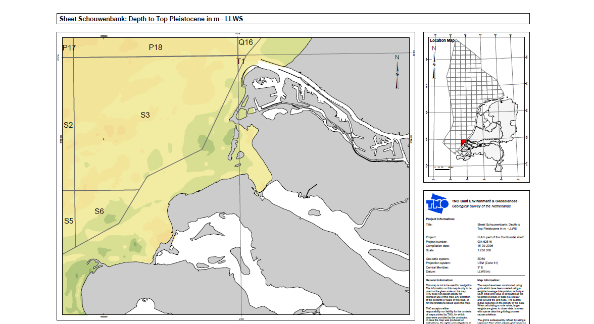
Geological map of the Dutch part of the Continental shelf (1:100.000)

Geological maps of the top Pleistocene, surficial formations and seabed sediments of the Buitenbanken, IJmuiden Gronden, Indusbank, Rabsbank and Schouwenbank.
series
Geologische Dienst Nederland
- Website with 3D model visualisations and downloads
https://metadata.europe-geology.eu/
Dutch, English
Geoscientific information
GEMET - INSPIRE themes, version 1.0:
 Spatial scope:
EGDI Keyword Thesaurus:
HVD category:
Spatial scope:
EGDI Keyword Thesaurus:
HVD category:
2.528,
51.546,
4.637,
52.719
publication: 2006-01-01
2006-01-01
vector
Project leader
Princetonlaan 6,
Utrecht,
3584 CB,
Netherlands
tel: 0888664300
email:
[email protected]
Role: custodian
Data Quality
Constraints
Metadata about metadata
6989d657-7914-4697-82bb-4f510a010e58
Reinder Reindersma
Princetonlaan 6,
Utrecht,
3584 CB,
Netherlands
tel: 0888664300
email:
[email protected]
Role: point of contact
2026-06-17