Atlas of the Netherlands in the Holocene (Vos, 2018)

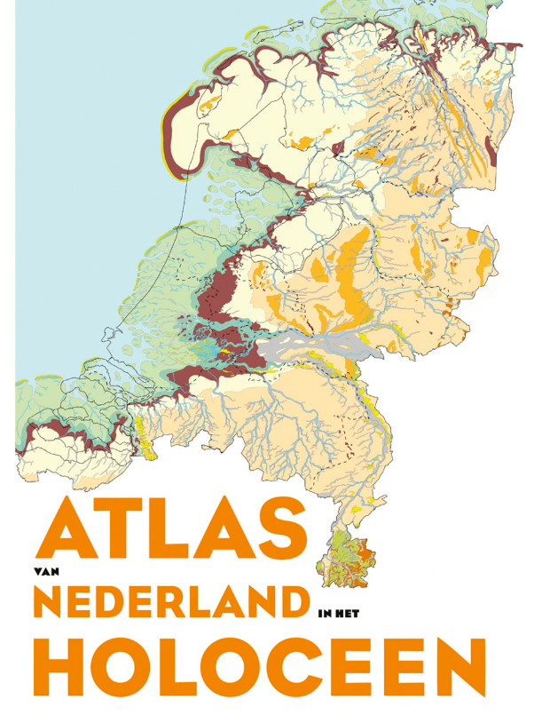
The Dutch landscape has been continuously changing since the end of the last Ice Age, 11,700 years ago. The paleogeographical maps provide insight into what the Dutch landscape looked like over these thousands of years. For thirteen different moments since the Ice Age, these maps depict the former geographical situation, based on the analysis and interpretation of tens of thousands of boreholes, as well as new geological, soil-science, and archaeological research.
series
Geologische Dienst Nederland
- Website with 3D model visualisations and downloads
https://metadata.europe-geology.eu/
Dutch
Geoscientific information
GEMET - INSPIRE themes, version 1.0:
 Spatial scope:
EGDI Keyword Thesaurus:
HVD category:
Spatial scope:
EGDI Keyword Thesaurus:
HVD category:
3.358,
50.751,
7.227,
53.554
publication: 2018-01-01
2018-01-01
vector
Peter Vos
Princetonlaan 6,
Utrecht,
3584 CB,
Netherlands
tel: 0888664300
email:
[email protected]
Role: custodian
Data Quality
The paleogeographical maps provide insight into what the Dutch landscape looked like over these thousands of years.
Equivalent Scale:
1:
500000
Constraints
Metadata about metadata
6984b489-bd7c-4e1b-97bd-43240a010e58
Reinder Reindersma
Princetonlaan 6,
Utrecht,
3584 CB,
Netherlands
tel: 0888664300
email:
[email protected]
Role: point of contact
2026-06-17