Mineral Information System (DIS)

Policy and decision-supporting regional model enabling sustainable development of the North Sea and coastal area.
dataset
https://www.dinoloket.nl/dis
Dutch
Geoscientific information
GEMET - INSPIRE themes, version 1.0:

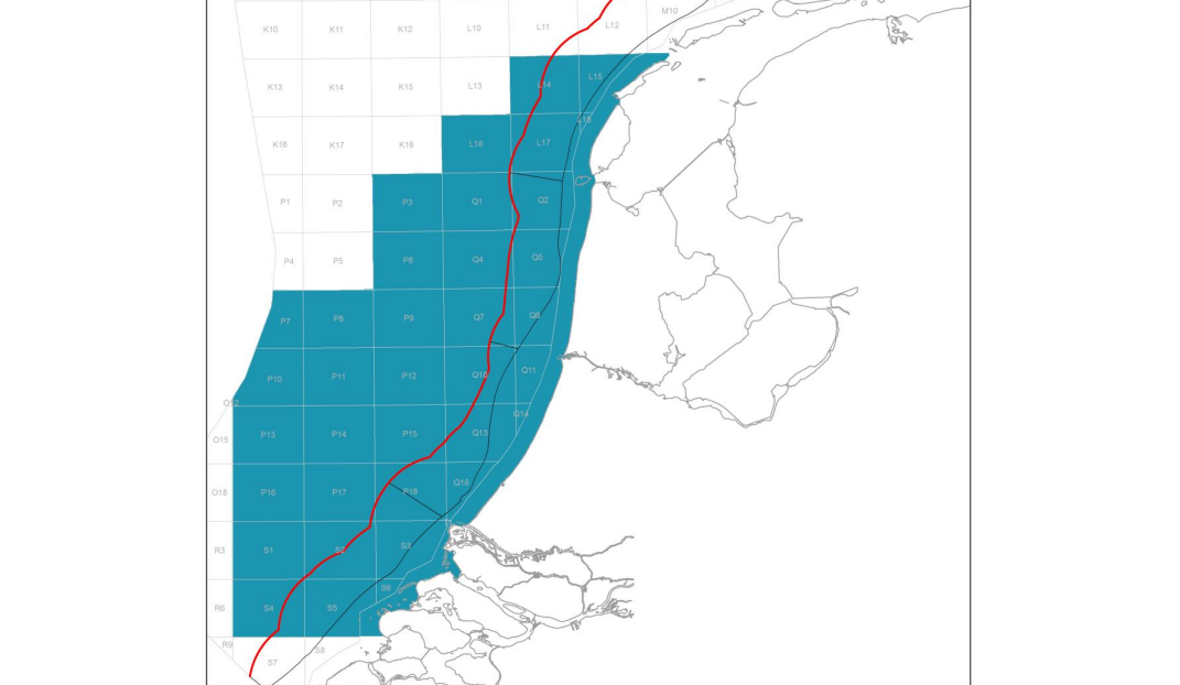
 Spatial scope:
INSPIRE priority data set:
EGDI Keyword Thesaurus:
European Geoscience Registry - Projects:
Spatial scope:
INSPIRE priority data set:
EGDI Keyword Thesaurus:
European Geoscience Registry - Projects:
2.898,
51.302,
5.168,
53.542
publication: 2022-07-14
2022-07-14
min: -12
max: 1
CRS: Local - depth (http://www.opengis.net/def/crs/EPSG/0/1049)
onGoing
grid
The model is created to determine the location and amount of mineral resources along the Dutch coast up to a depth of 12 meters.
Project leader
Princetonlaan 6,
Utrecht,
3584 CB,
Netherlands
tel: 0888664300
email:
[email protected]
Role: custodian
Data Quality
The multi-purpose voxel model is based on the BRO DGM model. It is a lower resolution The model is mainly based on boreholes and modelled in Isatis.
Minimal Distance:
250 m
Constraints
Metadata about metadata
6984712e-8698-47c7-b15e-2e1a0a010e58
Reinder Reindersma
Princetonlaan 6,
Utrecht,
3584 CB,
Netherlands
tel: 0888664300
email:
[email protected]
Role: point of contact
2026-05-27