ni_j100v Jökulrák á Vesturgosbelti – 1:100.000

Þekja [layer] j100v_vesturgosbelti_jardgrunnur_1utg_p:
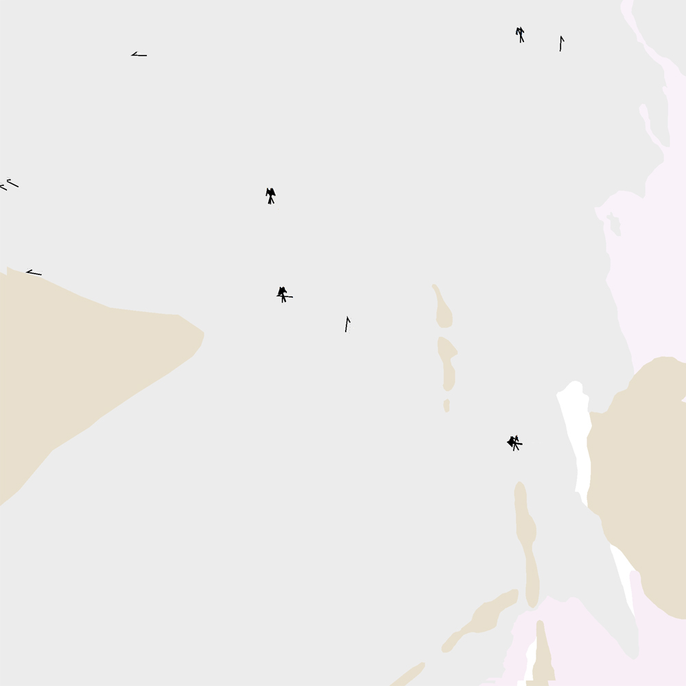
Jökulrákir á Vesturgosbelti Íslands. [Glacial striations of the Western Volcanic Zone of Iceland.]
Gögn eru flokkuð eftir ÍST120:2012 staðlinum, nema fitjueigindir:
jokulrakastefna: stefna jökulráka er mæld í kortlagningu og sýnir skriðstefnu jökuls.
aldur: ef fleiri en ein stefna er á rákunum er metinn afstæður aldur: yngri, aldur og aldur02.
[The data follows the ÍST120:2012 data standard with these additional feature attributes:
jokulrakastefna: indicates the direction of striations found during mapping.
aldur: if more than one set of striations is found this indicates the relative age: yngri (younger), aldur (older), and aldur02 (oldest, if 3 sets are present).]
Jökulrák – smámynd
English
Geoscientific information
GEMET - INSPIRE themes, version 1.0:
Geology
Free:
?
Free:
National
-21.048,
64.195,
-19.635,
65.094
publication: 2021-12-01
2019-05-01
-
2021-06-01
onGoing
vector
?
Náttúrufræðistofnun – Natural Science Institute of Iceland
?
,
?,
?
tel: ?
email:
[email protected]
Role: point of contact
Data Quality
Gögn fengin við kortlagningu ásamt viðbótarheimildum frá Kjartansson (1965), Johannesson (1994) og Á. Guðmundsson (óbirt gögn). Gögnin hafa verið yfirfarin og endurskoðuð.
Heimildir [Sources]:
- Ágúst Guðmundsson, unpublished data and personal communications.
- Jóhannesson, H. 1994. Geological map of Iceland, sheet 2, West-Iceland, second edition. Icelandic Museum of Natural History and Iceland Geodetic Survey, Reykjavik.
- Kjartansson, G. 1965. Geological map of Iceland, sheet 5, Central Iceland. Icelandic Museum of Natural History and Iceland Geodetic Survey, Reykjavik.
Equivalent Scale:
1:
100000
Constraints
https://www.natt.is/is/midlun/opin-gogn
Gögnin eru öllum opin – no limitations on public access
https://www.natt.is/is/midlun/opin-gogn
Gögnin eru öllum opin – no limitations on public access
Metadata about metadata
f0e04de4-8afe-4809-84d9-79b92f2e0b66
Náttúrufræðistofnun – Natural Science Institute of Iceland
?
,
?,
?
tel: ?
email:
[email protected]
Role: point of contact
2025-08-08