ni_j100v Höggun á Vesturgosbelti – 1:100.000

Þekja [layer] j100v_vesturgosbelti_hoggun_1utg_li:
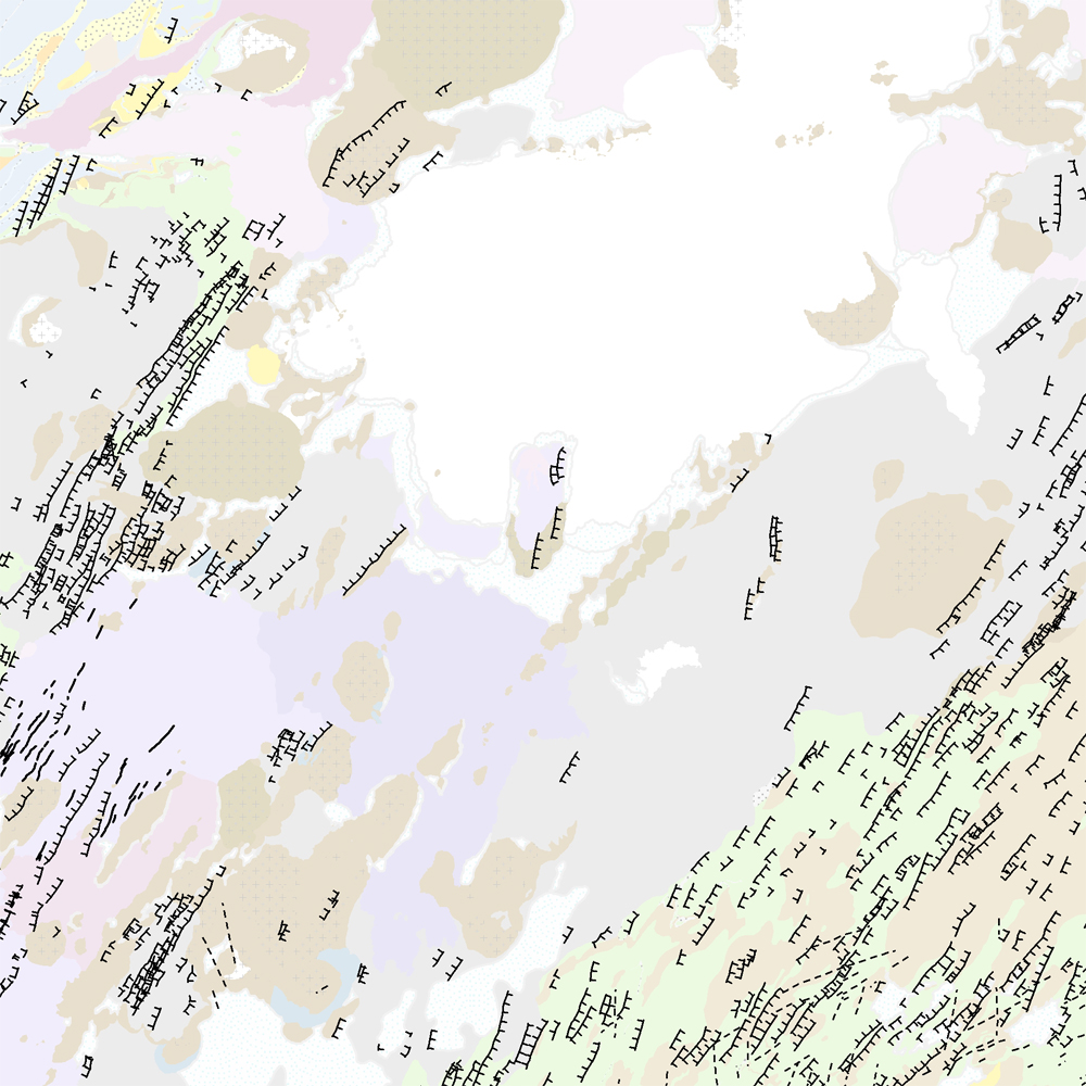
Höggun á Vesturgosbelti Íslands, línulag. [Tectonic of the Western Volcanic Zone Icelands, line features.]
Gögn sýna sprungur, misgengi, gjár, mislægi og brotalínur, kortlagt í mkv. 1:100.000.
[Tectonic line features such as faults, fractures, fissures, unconformity, and fracture lines mapped at 1:100,000 scale.]
Höggun á Vesturgosbelti – smámynd
English
Geoscientific information
GEMET - INSPIRE themes, version 1.0:
Geology
Free:
?
Free:
National
-21.048,
64.195,
-19.635,
65.094
publication: 2021-12-01
2019-05-01
-
2019-06-01
onGoing
vector
?
Náttúrufræðistofnun – Natural Science Institute of Iceland
?
,
?,
?
tel: ?
email:
[email protected]
Role: point of contact
Data Quality
Gögnin eru úr vettvangsvinnu, loftmyndagreining og DEM, og þekjur frá Hjartadóttir et al (2016).
[Compiled from field data, analysis of DEM and aerial imagery and previous work e.g. Hjártadóttir et al (2016).]
Heimildir [Sources]:
- Hjartardóttir, Á.R., Einarsson, P. and Björgvinsdóttir, S.G. 2016. Fissure swarms and fracture systems within the Western Volcanic Zone, Iceland–effects of spreading rates. Journal of Structural Geology, 91, pp.39-53.
- Jóhannesson, H. 2014. Geological map of Iceland, 1:600,000. Icelandic Institute of Natural History.
Equivalent Scale:
1:
100000
Constraints
https://www.natt.is/is/midlun/opin-gogn
Gögnin eru öllum opin – no limitations on public access
Metadata about metadata
e6f4813b-6347-4ca3-a1cd-4a9cd4d28f4b
Náttúrufræðistofnun – Natural Science Institute of Iceland
?
,
?,
?
tel: ?
email:
[email protected]
Role: point of contact
2025-08-08