ni_j100v Gigur á Vesturgosbelti – 1:100.000

Þekja [layer] j100v_vesturgosbelti_gigar_1utg_li:
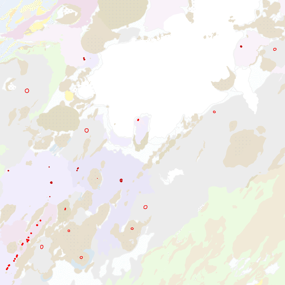
Gígar á Vesturgosbelti, línulag. [Craters of the Western Volcanic Zone, line data.]
Gögn sem sýna gígaröð og útlínur. Gerður er greinarmunur á gossprungum, Holósen útlínur gíga (yngri og eldri en 7000 ára) og gígar frá Kvarter (kuldaskeið/hlýskeiðs).
[Data detailing crater rows and outlines. This includes distinctions between eruptive fissure rows, Holocene crater outlines (younger and older than 7000 years), and quarternary (glacial/interglacial) craters.]
Gígar – smámynd
English
Geoscientific information
GEMET - INSPIRE themes, version 1.0:
Geology
Free:
?
Free:
National
-21.048,
64.195,
-19.635,
65.094
publication: 2021-12-01
2019-05-01
-
2021-06-01
onGoing
vector
?
Náttúrufræðistofnun – Natural Science Institute of Iceland
?
,
?,
?
tel: ?
email:
[email protected]
Role: point of contact
Data Quality
Gögn frá vettvangsvinnu og gögn birt á jarðfræðikorti Jakobsson (2019). Línur hafa verið bættar með því að nota loftmyndir. Gögnin hafa verið yfirfarin og endurskoðuð.
Heimildir [Sources]:
Sveinn P. Jakobsson 2019. Geological map of the western volcanic zone, Iceland.
Heimildir [Sources]:
Sveinn P. Jakobsson 2019. Geological map of the western volcanic zone, Iceland.
Equivalent Scale:
1:
100000
Constraints
https://www.natt.is/is/midlun/opin-gogn
Gögnin eru öllum opin – no limitations on public access
Metadata about metadata
cde5a71d-8c78-43e6-a2b5-90c091bcfae3
Náttúrufræðistofnun – Natural Science Institute of Iceland
?
,
?,
?
tel: ?
email:
[email protected]
Role: point of contact
2025-08-08