ni_j100v Strik og Halli á Austurlandi – 1:100.000

Þekja (layer) j100v_austurland_strikHalli_1utg_p:
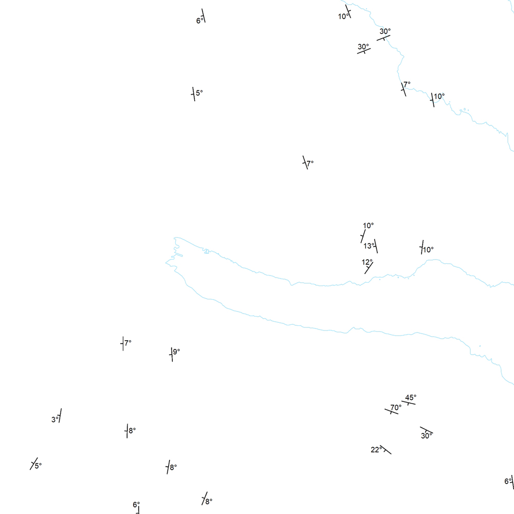
Strik og hallastefna jarðlaga. [Strike and dip of the deposits.]
Staðsetning mælinga á striki og hallastefnu jarðlaga á Austurlandi.
[Locations of measurements of strike and dip of the deposits in Eastern Iceland.]
Strik og hallastefna jarðlaga. [Strike and dip of the deposits.]
Staðsetning mælinga á striki og hallastefnu jarðlaga á Austurlandi.
[Locations of measurements of strike and dip of the deposits in Eastern Iceland.]
Strik og Halli – smámynd
ni:ni_j100v_austurland_strik_halli_1utg_p
- Jarðfræði Austurland halli
Icelandic
Geoscientific information
GEMET - INSPIRE themes, version 1.0:
GSL flokkun:
Geology
Free:
GSL
Free:
National
-14.775,
64.59,
-13.431,
65.409
publication: 2019-12-31
2019-06-30
-
2019-12-31
onGoing
vector
?
Náttúrufræðistofnun – Natural Science Institute of Iceland
?
,
?,
?
tel: ?
email:
[email protected]
Role: originator
Data Quality
Birgir V. Óskarsson jarðfræðingur vann að kortlagningu svæðisins og tengingu eldri korta. Gögn eru einnig fengin úr eftirfarandi heimildum:
[Birgir V. Óskarsson geologist mapped in the field and compiled the Geological Map of Eastern Iceland from older maps. Data is also based on references below:].
Gibson, I.; Kinsman, D. and Walker, G., 1966, Geology of the Fáskrúðsfjörður area, Eastern Iceland, Visindafelag Íslendinga, Greinar IV,2, 52.
Walker, G. P. L. 1974, The structure of eastern Iceland, Geodynamics of Iceland and the North Atlantic Area, 177-188.
Walker, G. P. L., 1960, Unpublished compilation 1:100 000, Available at Breiðdalssetur in Breiðdalsvík, 1960.
Walker, G. P. L., 1963, The Breiddalur central volcano, eastern Iceland, Quarterly Journal of the Geological Society, 119, 29-63.
Equivalent Scale:
1:
100000
Constraints
https://www.natt.is/is/midlun/opin-gogn
Gögnin eru öllum opin – no limitations on public access
https://www.natt.is/is/midlun/opin-gogn
Gögnin eru öllum opin – no limitations on public access
Metadata about metadata
b012331b-be66-4108-a1b3-a1d7d9e4c959
Náttúrufræðistofnun – Natural Science Institute of Iceland
?
?,
?,
?,
?
tel: ?
email:
[email protected]
Role: point of contact
2025-08-08