Geological map of South Limburg

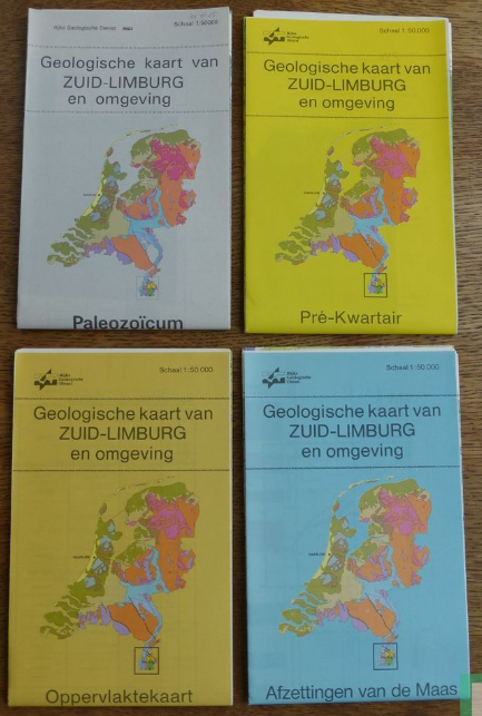
Geological map of Paleozoic, Pre-Quarternary, surface and Meuse deposits in South-Limburg.
series
Geologische Dienst Nederland
- Website with 3D model visualisations and downloads
https://metadata.europe-geology.eu/
Dutch
Geoscientific information
GEMET - INSPIRE themes, version 1.0:
 Spatial scope:
EGDI Keyword Thesaurus:
HVD category:
Spatial scope:
EGDI Keyword Thesaurus:
HVD category:
5.582,
50.723,
6.131,
51.05
publication: 1995-01-01
1995-01-01
completed
vector
Project leader
Princetonlaan 6,
Utrecht,
3584 CB,
Netherlands
tel: 0888664300
email:
[email protected]
Role: custodian
Data Quality
Geological map of Paleozoic, Pre-Quarternary, surface and Meuse deposits in South-Limburg.
Equivalent Scale:
1:
50000
Constraints
Metadata about metadata
6984af41-0e78-45a8-9506-41d20a010e58
Reinder Reindersma
Princetonlaan 6,
Utrecht,
3584 CB,
Netherlands
tel: 0888664300
email:
[email protected]
Role: point of contact
2026-06-17