ni_j100v Gjallgígar á Austurlandi – 1:100.000

Þekja (layer) j100v_austurland_gigar_1utg_fl:
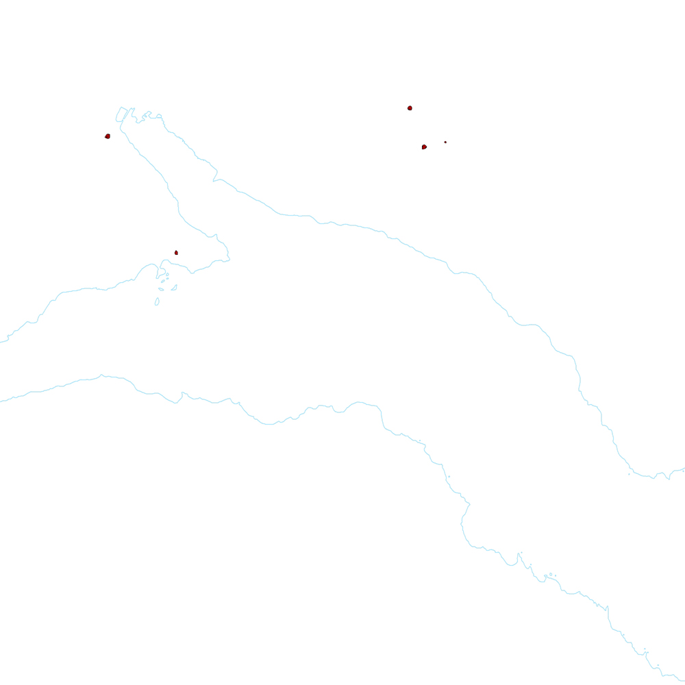
Flákar sem sýna gjallgíga í jarðlagastafla Austurlands.
[Polygon data of scoria cones in Eastern Iceland.}
Flákar sem sýna gjallgíga í jarðlagastafla Austurlands.
[Polygon data of scoria cones in Eastern Iceland.}
Gjallgígar af Austurlandi – smámynd
dataset
Icelandic
Geoscientific information
?:
GEMET - INSPIRE themes, version 1.0:
GSL flokkun:
?
?
Geology
Free:
National
Free:
GSL
-14.775,
64.59,
-13.431,
65.409
publication: 2019-12-31
2019-06-30
-
2019-12-31
onGoing
vector
?
Náttúrufræðistofnun – Natural Science Institute of Iceland
?
,
?,
?
tel: ?
email:
[email protected]
Role: originator
Data Quality
Gjallgígarnir voru kortlagðir að mestu af Birgi Óskarssyni. Ágúst Guðmundsson benti á gíga í Mjóafirði.
[The scoria cones were mapped by Birgir Óskarsson. Ágúst Guðmundsson pointed out the scoria cones in Mjóafjörður.]
[The scoria cones were mapped by Birgir Óskarsson. Ágúst Guðmundsson pointed out the scoria cones in Mjóafjörður.]
Equivalent Scale:
1:
100000
Constraints
https://www.natt.is/is/midlun/opin-gogn
Gögnin eru öllum opin – no limitations on public access
Metadata about metadata
4f7312f5-0f86-4b1d-b501-37dec5f14df0
Náttúrufræðistofnun – Natural Science Institute of Iceland
?
?,
?,
?,
?
tel: ?
email:
[email protected]
Role: point of contact
2025-08-08