ni_j100v Berggrunnur mörk á Austurlandi – 1:100.000

Þekja (layer) j100v_austurland_berggrunnurMork_1utg_li:
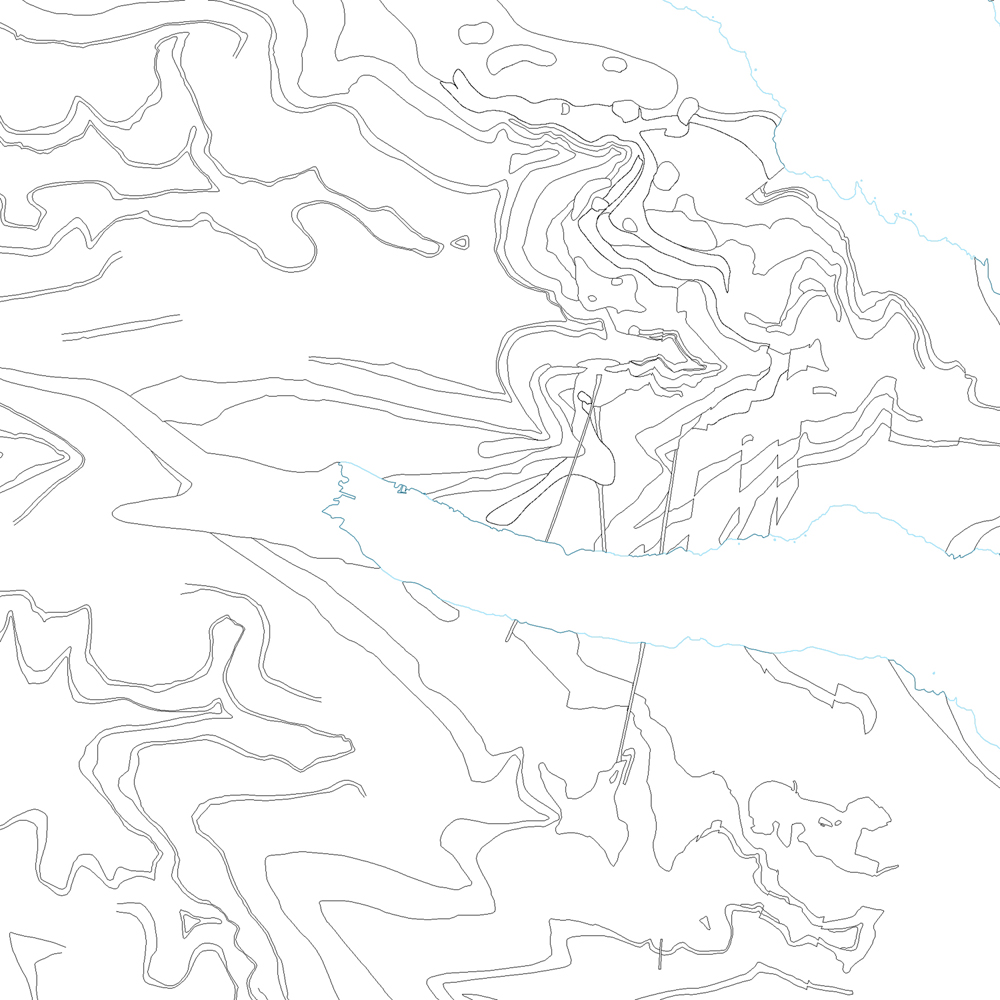
Línur sýna þekkt mörk berggrunns. [Lines showing certain boundaries of bedrock.]
Tilheyra flákagögn 'ni_j100v Berggrunnur á Austurlandi – 1:100.000' (j100v_austurland_berggrunnur_1utg_fl).
[Follows the polygon data 'ni_j100v Berggrunnur á Austurlandi – 1:100.000' (j100v_austurland_berggrunnur_1utg_fl).]
Berggrunnur mörk – smámynd
dataset
Icelandic
Geoscientific information
GEMET - INSPIRE themes, version 1.0:
GSL flokkun:
Geology
Free:
GSL
Free:
National
-14.775,
64.59,
-13.431,
65.409
publication: 2019-12-31
2019-06-30
-
2019-12-31
onGoing
vector
?
Náttúrufræðistofnun – Natural Science Institute of Iceland
?
,
?,
?
tel: ?
email:
[email protected]
Role: originator
Data Quality
Byggt á útlínum flákagögn j100v_austurland_berggrunnur_1utg_fl, sjá nánar þar.
[Based on the outlines of the polygon data 'j100v_austurland_berggrunnur_1utg_fl', see more there.]
[Based on the outlines of the polygon data 'j100v_austurland_berggrunnur_1utg_fl', see more there.]
Equivalent Scale:
1:
100000
Constraints
https://www.natt.is/is/midlun/opin-gogn
Gögnin eru öllum opin – no limitations on public access
Metadata about metadata
061f1104-454f-4dad-80a6-a2cb0ebb8c41
Náttúrufræðistofnun – Natural Science Institute of Iceland
?
?,
?,
?,
?
tel: ?
email:
[email protected]
Role: point of contact
2025-08-08