Iceland - Heat-flow density and temperature at depth

The dataset presents three layers of geothermal data from Iceland based on "Atlas of Geothermal Resources in Europe" (2002). Heat-flow density, Temperature at 1000 meters and Temperature at 2000 meters (1:10 000 000).
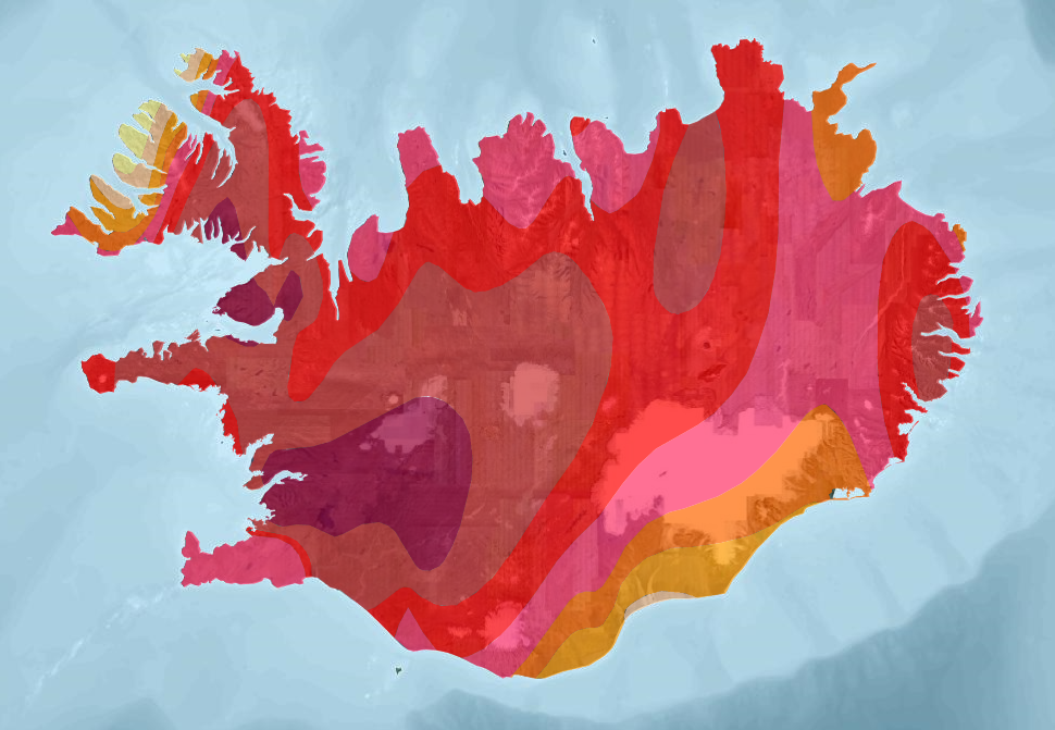
Yfirborðsvarmaflæði
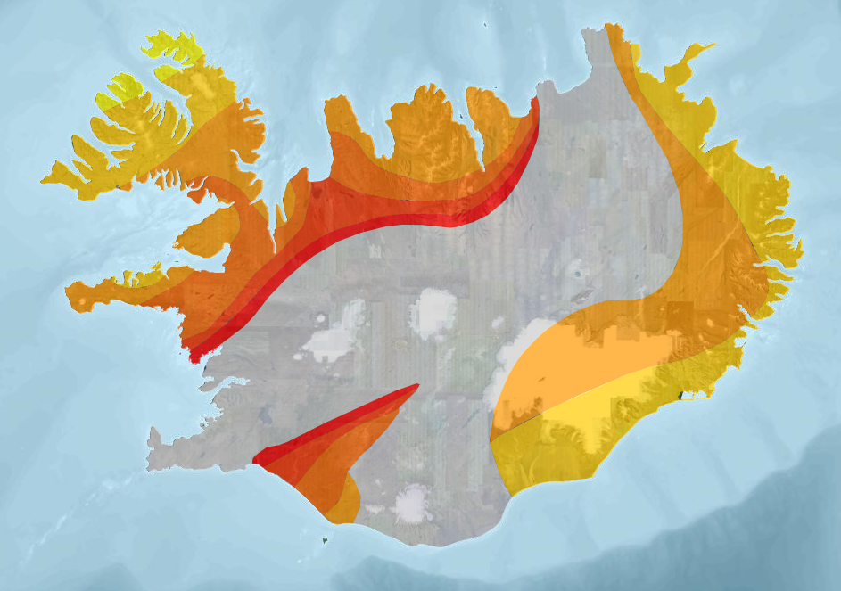
Hitastig á 1000 metra dýpi
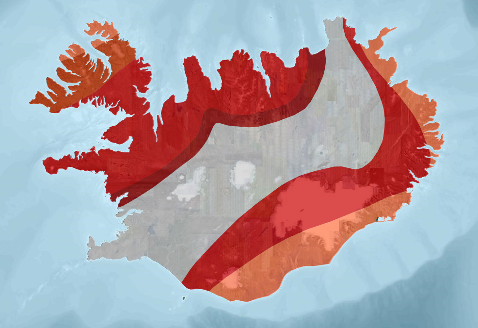
Hitastig á 2000 metra dýpi
dataset
Kortasjá OS
- Kortasjá sem sýnir landfræðileg gagnasett Orkustofnunar
:
{E508F4E1-6EC9-461B-B5FF-C37FA1ADEB21}
English
Geoscientific information
GEMET - INSPIRE themes, version 1.0:
GEMET - Concepts, version 2.4:
GSL flokkun:
Energy Resources (3.20)
Geology
Free:
Geothermal
GSL
Free:
EGIP
Free:
Iceland
Free:
Jarðhiti
Free:
Jarðfræði
-25,
63,
-13,
67
creation: 2015-03-23
2002
-
2002
vector
Orkustofnun
email:
[email protected]
Role: owner
Data Quality
Based on the maps "Heat-flow density" (Plate 1), "Temperature at depth 1000 meters" (Plate 2) and "Temperature at depth 2000 meters" (Plate 3) in "Atlas of Geothermal Resources in Europe" (2002). Produced in relation to EGIP Pilot Project within the Geothermal ERA-NET.
Equivalent Scale:
1:
10000000
IST120
Constraints
Citation to source requested